By: Srijani Datta, Assistant News Editor
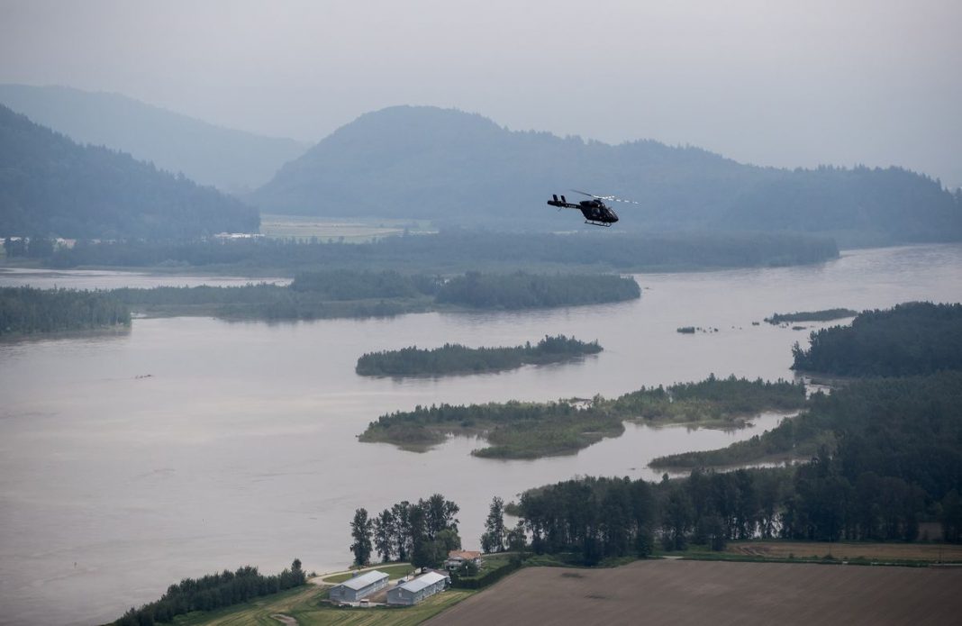
The recent floods in British Columbia have greatly impacted the Greater Vancouver region and interior of BC. SFU professor and Director of Environmental Science Jeremy Venditti discussed the reasons behind the occurrence in an email interview with The Peak.
Venditti clarified that the flooding itself is not out of the ordinary. He explained that as snow accumulates in the mountains of BC every winter, this snow melts to flood the rivers when the weather gets warm. “[The] flooding this year is typical. What is atypical is that it is happening so early in the season,” wrote Venditti.
Venditti attributed the early flooding to the prolonged warm weather that BC experienced in early May. He described that usually the initial warming phase each year is followed by a cooling period, which releases the snow pack more gradually. However, this year the prolonged warming phase in early May caused the severity of the flooding.
Additionally, Venditti stated that the snow pack in the mountains was also very high this year due to the La Niña effect, which cooled ocean temperatures off the coast of BC.
Venditti was hesitant to attribute the floods to climate change, writing that “this happens every year. The only thing unique about this year is the early timing.” He followed that climate change could be a factor in the future as a warmer climate may lead to more frequent floods of this type. But Venditti cautioned that, as climate is the long-term average of the weather, we cannot read too much into this one early flood season.
Venditti also highlighted the need to prepare for such floods whether they happen regularly or not: “You cannot stop a flood. The best thing to do is get out of its way.”
He highlighted the dangers of building in floodplains, low-lying ground close to rivers that is at a significant risk of experiencing floods, and the need to stop such constructions.
“People generally have pretty short memories,” he wrote. “So, when it does not flood for 10 or 20 years, people begin to think it is okay to build in floodplains. But this is a mistake. Floodplains are called floodplains because they flood periodically. So, building in floodplains should be banned.” He added that it is however okay to use the floodplains for agriculture and grazing lands, with the expectation that they will be unusable for a few months every 10 to 20 years.
In that case of low-lying regions where communities have been built and cannot be moved, Venditti suggested that the dike systems in those areas should be improved to hold back flood waters when they come. “But it should be recognized that dikes are not a guarantee that flood waters will not reach infrastructure and communities,” he continued. “They just reduce the chances that it will happen during moderate scale floods.”
Stressing the need for more systematic research on floods and flooding in BC, Venditti opined that “the current approach is not really adequate.” He used the example of the Fraser River system, as the only major river of its size that passes through a major metropolitan area and does not have an independent institute dedicated to study of the river. According to Venditti, most major river systems have an institute that integrates across government, NGOs, universities, river users and consultancies to make information and data available to everyone. “There is nothing of this sort in BC. This is a major gap in public policy in BC and Canada in general,” stressed Dr. Venditti.
With files from The Globe and Mail.


